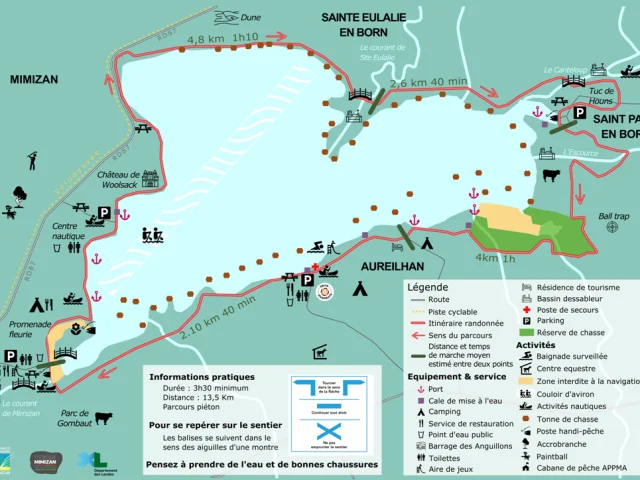
Practical information
Duration: 3h30 minimum
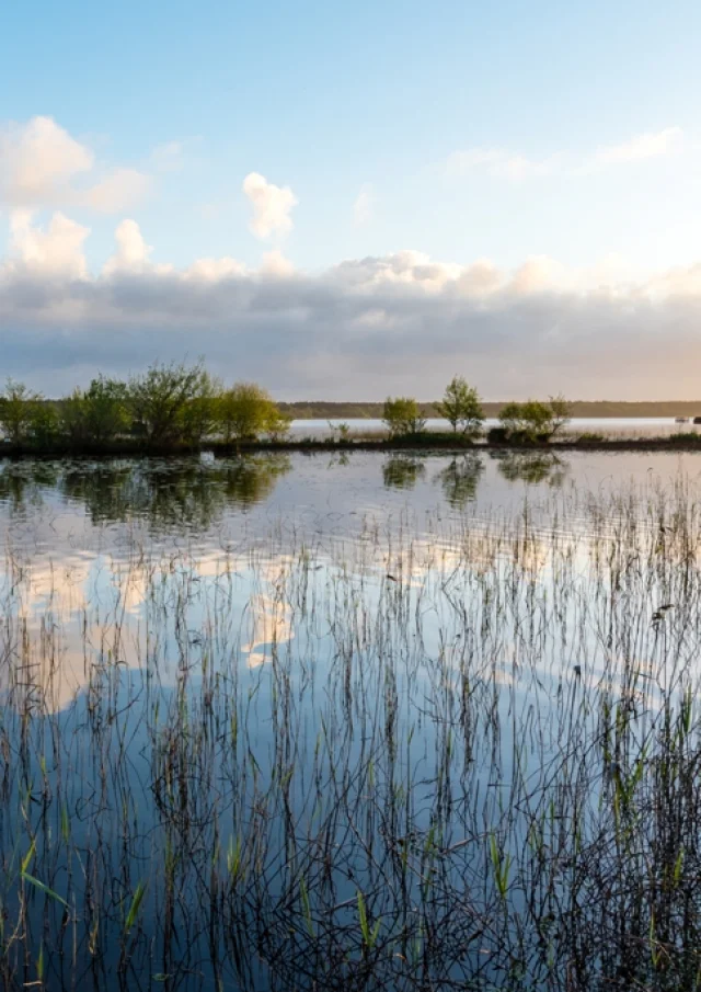
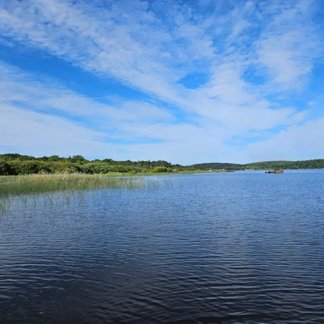
Distance: 13.5 km; pedestrian route
Difficulty: intermediate (some sandy areas)
Height gain: none
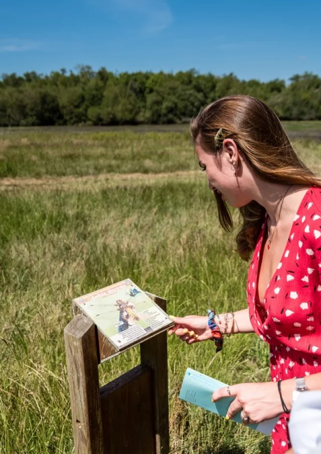
Marking and direction: official PDIPR (Plan Départemental des Itinéraires Pédestres et de Randonnées) marking: horizontal blue line running clockwise from Aureilhan towards Mimizan, Ste Eulalie, St Paul and Aureilhan.
Official starting point: Aureilhan, lakeside parking lot near the roundabout and supervised beach. Note: the tour of the lake can be done from other locations, but in a clockwise direction.
Topoguide: route description sheet available from the Office Intercommunal de Tourisme de Mimizan; topoguide sold for €2. This topoguide presents the routes of other circuits (9) proposed in the Pays de Born, including loops in Pontenx les Forges, Mézos, St Paul en Born and Mimizan.
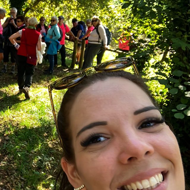
Other tips and recommendations: don’t forget your water, cap, appropriate footwear, camera and mosquito repellent (especially in fine weather), don’t leave litter, stay on the marked trail, keep dogs on a leash…
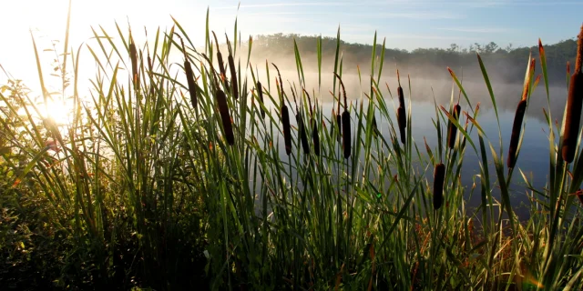
Good to know: in winter, or after a few days of rain, part of the circuit may unfortunately be muddy or even have large puddles that are difficult to avoid. Boots are recommended in such cases, and please note that the duration of the tour will be somewhat extended.